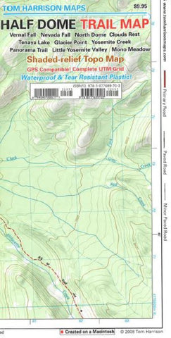
Half Dome and Yosemite, California by Tom Harrison Maps
The Half Dome Trail map in Yosemite National park covers the area between Tenaya Lake and Glacier Point road, centered on the Half Dome. Map is at a scale where one inch represents a half-mile; durable waterproof plastic. Printed on one side.
- Product Number: 2033577M
- Product Code: TH_HALF_DOME
- ISBN: 9781877689703
- Year of Publication: 2008
- Folded Size: 9.06 x 4.72 inches
- Unfolded Size: 25.98 x 17.72 inches
- Map type: Folded Map
- Geographical region: California

