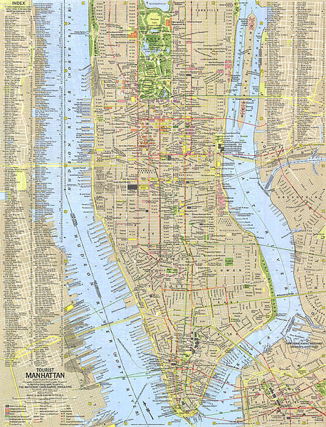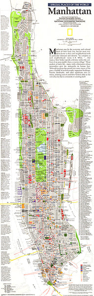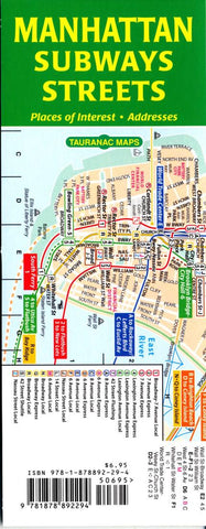
Manhattan subways streets
This pair of maps shows you how to find the closest subway station from where you are, and which subway takes you to the most convenient station that will get you to your ultimate destination. The street map includes house numbers, neighborhoods, tourist attractions, museums and other places of interest. There is an index of subway stations with the daily service at each station, an index of streets, and an index of places of interest. Both maps are to the same scale and have the same grid coordinates. Plus theres a late-night subway map.
True to Tauranac’s belief that a transportation map should be more didactic than merely indicating full-time v. part-time service, the service on his maps is time specific – a red number or letter indicates that the service only operates weekdays, blue indicates that the service only operates rush hours, and so on.
Folded, the maps measure 3.3 by 8.3 inches, a comfortable size for pocket, purse, tote or backpack. Unfolded – and accordio
- Product Number: TAU_MAN_SUBSTR_11
- Reference Product Number: 2042422M
- ISBN: 9781878892294
- Date of Publication: 6/1/2011
- Folded Size: 8.27 inches high by 3.15 inches wide
- Unfolded (flat) Size: 8.27 inches high by 25.2 inches wide
- Map format: Folded
- Map type: Trade Maps - Railway
- Geographical region: United States
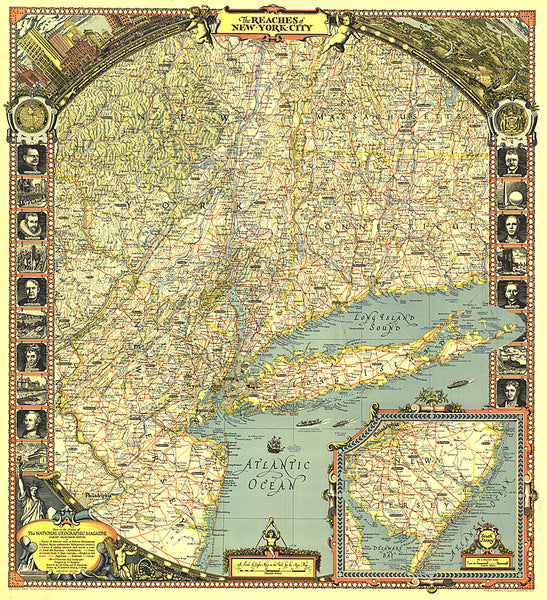
- Geographical subregion: New York