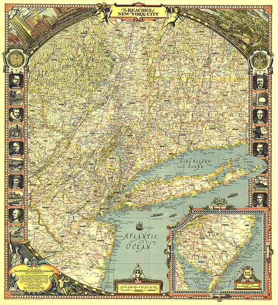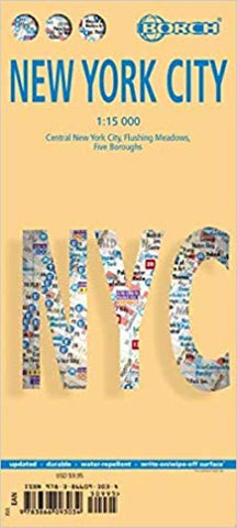
New York City : Central New York City, Flushing Meadows, Five Boroughs
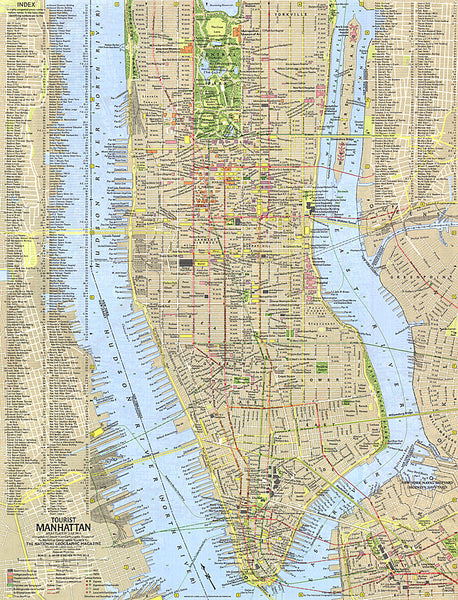
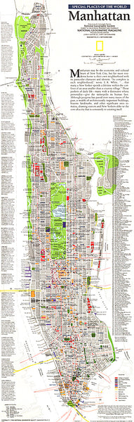
Very clear, indexed street plan on durable laminated paper showing southern and central Manhattan at 1:15,000, with a more general road map of the Five Boroughs area on the reverse. Detail includes one-way streets, notable and public buildings, pedestrian zones, railway and subway stations (indicating lines served at each station), and ferry links. Symbols denote information centres, monuments, museums, theatres, sites of interest, car parks, bus stations, etc.
Coverage of the main street plan extends from the north of Central Park southwards to Prospect Heights, Brooklyn, including the east River. The map of the Five Boroughs area and neighbouring districts of New Jersey is at 1:100,000 and shows the main road and subway communications, naming many roads and districts. Also included is a street map at 1:15,000 of Flushing Meadows, and diagrams of the NY C Subway network and the Manhattan Zip-Code zones. Thirty recommended attractions are highlighted on the maps. All the maps ar
- Product Number: BOR_NYC_20
- Reference Product Number: - None -
- ISBN: 9783866093034
- Date of Publication: 6/1/2020
- Folded Size: 9.45 inches high by 4.33 inches wide
- Unfolded (flat) Size: 38.98 inches high by 19.69 inches wide
- Map format: Folded
- Map type: Trade Maps - City Maps
- Geographical region: United States
- Geographical subregion: New York