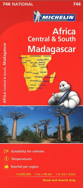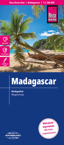
Madagascar Road Map
Madagascar at 1:1,200,000 on an indexed, waterproof and tear-resistant road map with topographic and tourist information, published by Reise Know-How as part of their highly acclaimed World Mapping Project. The map is double-sided to provide the best balance between a good scale and a convenient size sheet, with a generous overlap and Antananarivo included on both sides. Coverage includes the Comoros Islands and Mayotte.
Topography is indicated by altitude colouring with spot heights and mountain passes, names of mountain ranges and plateaux, seasonal rivers and lakes, mangroves and coral reefs. Road information includes seasonal tracks and indicates intermediate driving distances on main and secondary roads and locations of petrol stations. Railways, local airfields and coastal ferry connections are also shown, as well as internal administrative boundaries. National parks and protected areas are marked and symbols highlight various places of interest: selected accommodation
- Product Number: RKH_MAD_22
- Reference Product Number: - None -
- ISBN: 9783831773879
- Date of Publication: 6/1/2022
- Folded Size: 10.24 inches high by 4.72 inches wide
- Unfolded (flat) Size: 27.56 inches high by 39.37 inches wide
- Map format: Folded
- Map type: Trade Maps - Road
- Geographical region: Madagascar