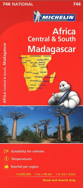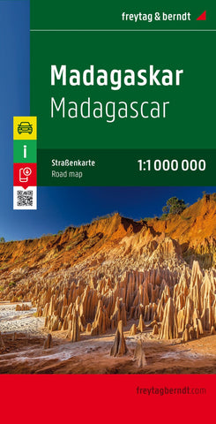
Madagaskar, road map 1:1.000.000
Madagascar at 1:1,000,000 on a large, double-sided, indexed road map from Freytag & Berndt, with tourist information and insets showing Mauritius and Reunion islands. National parks and other protected areas are prominently highlighted on a base map with topography shown by bold relief shading with spot heights.
The map divides Madagascar north/south with Antananarivo included on both sides. Road network includes country tracks, shows locations of petrol stations, and gives driving distances on main routes. Railways, local airports and ferry routes are marked and the map shows Madagascar’s internal administrative boundaries with names of districts. Icons highlight locations with hotels and campsites, beaches, diving and windsurfing sites, various places of interest including UNESCO World Heritage sites, spas, wells, caves, etc. The map has latitude and longitude lines at intervals of 1° and is indexed. Multilingual map legend includes English.
An inset at the same scale
- Product Number: FB_MAD_20
- Reference Product Number: - None -
- ISBN: 9783707914139
- Date of Publication: 8/29/2020
- Folded Size: 10.02 inches high by 5.11 inches wide
- Unfolded (flat) Size: 10.02 inches high by 5.11 inches wide
- Map format: Folded
- Map type: Trade Maps - Road
- Geographical region: Madagascar