The Romea Strata Walking Map #1
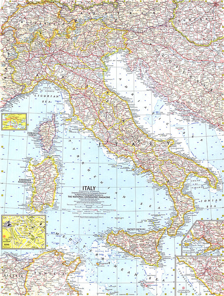
The Romea Strata was an important route, traveled by pilgrims who departed from central-eastern Europe: from present-day Poland, the Czech Republic and Austria through Tarvisio; from the Balkans via Hungary and Slovenia via Gorizia, and from Croatia via Trieste.
These could continue the journey on the ancient Via Annia, head to the abbey of Nonantola and, crossing the Apennines, reach the Francigena.
From here, turning south, they reached Rome and the ports of the south towards Jerusalem, or they headed north-west towards Santiago de Compostela.
The volume proposes a discussion of all sections of the Via Romea: Allemagna, Iulia Augusta, Aquileiense, Annia and Longobarda.
For each route, a very useful overview shows all the single stages; for each stage there are detailed descriptions, in-depth boxes on relevant places, elevation profiles, a technical sheet that summarizes the characteristics of the route and lots of useful information on where to eat and where to sleep.
- Product Number: TCI_ROMEA_1_19
- Reference Product Number: - None -
- ISBN: 9788836576098
- Date of Publication: 10/17/2019
- Map format: - None -
- Map type: Books/Monographs - Walking Guides
- Geographical region: Italy

