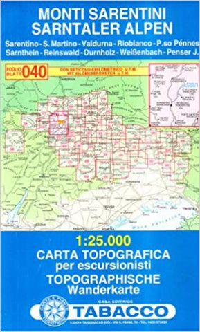
Monti Sarentini/Sarntaler Alpen
This topographic map covers Monti Sarentini. The map is in Italian and German and has a UTM grid and latitude and longitude tick marks for easy use with a GPS.
- Product Number: TAB_40_MONTISARENTINI_19
- Reference Product Number: 2336544M
- ISBN: 9788883150548
- Date of Publication: 6/1/2019
- Folded Size: 8.66 inches high by 5.12 inches wide
- Unfolded (flat) Size: 43.31 inches high by 38.58 inches wide
- Map format: Folded
- Map type: Trade Maps - Hiking
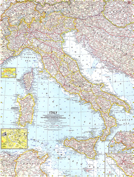
- Geographical region: Italy