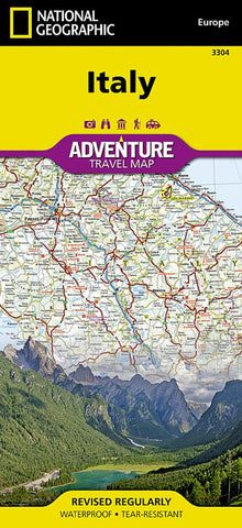
Italy AdventureMap
• Waterproof • Tear-Resistant • Travel Map
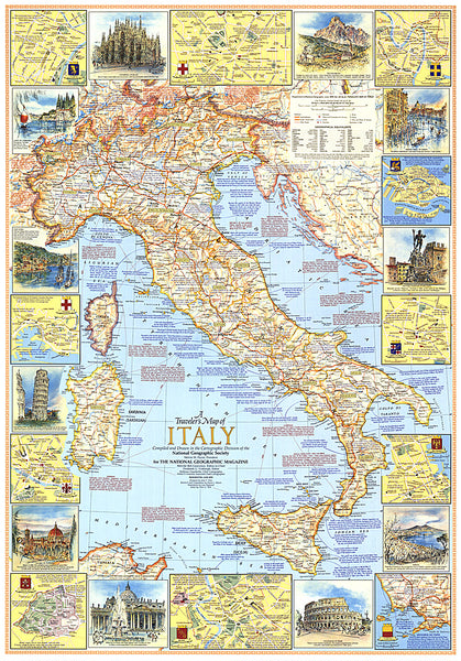
National Geographics Italy AdventureMap is designed to meet the unique needs of adventure travelers with its durability and accurate information. This folded map provides global travelers with the perfect combination of detail and perspective, highlighting hundreds of points of interest and the diverse and unique destinations within the country.
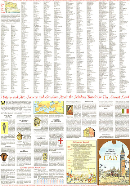
The map includes the locations of cities and towns with a user-friendly index, plus a clearly marked road network complete with distances and designations for major highways, main roads, and tracks and trails for those seeking to explore more remote regions.
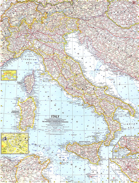
The front side of the Italy map shows the northern half of the country from its borders with France, Switzerland, Austria, and Slovenia to its capital, Rome, and includes the provinces of Aosta Valley, Piedmont, Lombardy, Trentino-Alto Adige, Friuli-Venezia Giulia, Veneto, Emilia-Romagna, Liguria, Tuscany, Marche, Umbria, Lazio
- Product Number: NG_AM_I_20
- Reference Product Number: - None -
- ISBN: 9781566955362
- Date of Publication: 6/1/2020
- Folded Size: 9.45 inches high by 4.33 inches wide
- Unfolded (flat) Size: 37.4 inches high by 25.59 inches wide
- Map format: Folded
- Map type: Trade Maps - Travel
- Geographical region: Italy