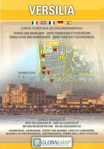
Versilia : carta turistico-stradale ed escursionistica
Detailed road and walking map covering the Versilia (the Tuscan coast from Marina di Carrara in the north and Torre del Lago in the south) and almost all of the Alpi Apuane National Park with hill-shading, pick heights and bathymetric information.
Road detail includes five kinds of roads, tracks and trails, with names and intermediate driving distances in km on major roads. Administrative boundaries, railways, mountain refuges, campsites and thermal baths are also indicated. Interesting areas, the Alpi Apuane Trekking path and 188 other footpaths are highlighted, alongside 4 major tourist itineraries also described through a vertical profile diagram.
A small section gives the numbers of Alpine Aid Stations over the areas.
Not indexed, and printed on paper with a hard cover.
- Product Number: LAC_TU_VERSIL_9
- Reference Product Number: 2033107M
- ISBN: 9788879148993
- Date of Publication: 6/1/2009
- Folded Size: 6.69 inches high by 4.33 inches wide
- Unfolded (flat) Size: 26.77 inches high by 38.98 inches wide
- Map format: Folded
- Map type: Trade Maps - Tourist
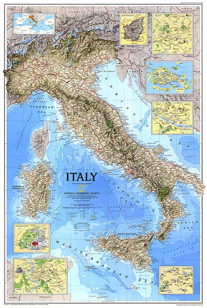
- Geographical region: Italy

