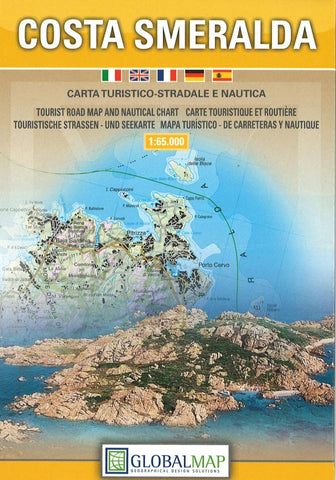
Costa Smeralda : carta turistico-stradale e nautica
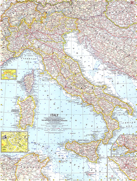
Costa Smeralda, the north-eastern tip of Sardinia and the nearby islands on a detailed map at 1:65,000 from Litografia Artistica Cartografica in their GlobalMap imprint, highlighting the area’s beaches, campsites, historical and architectural heritage, etc.
Coverage extends inland to just beyond Luogosanto and south past Olbia to Porto San-Paolo and the island of Tavolara. Coverage includes the islands of the La Maddalena archipelago which form a national park, as well as the southern tip of Corsica and French islands in the Straights of Bonifacio. The map shows local roads, cart tracks and country paths and indicates ferry connections. Symbols mark locations of tourist information services, campsites, beaches, churches and important architectural sites, megalithic nuraghi and archaeological remains, interesting natural sites, etc.
Topography is presented by contours, enhanced by relief shading with plenty of spot heights and names of local hills, etc. The map has a UTM
- Product Number: LAC_TU_SMERAL_12
- Reference Product Number: 2068917M
- ISBN: 9788879144544
- Date of Publication: 6/1/2012
- Folded Size: 6.69 inches high by 4.33 inches wide
- Unfolded (flat) Size: 25.98 inches high by 38.58 inches wide
- Map format: Folded
- Map type: Trade Maps - Tourist
- Geographical region: Italy