Umbria, road and leisure map 1:150,000
Umbria at a detailed scale of 1:150,000 in Freytag & Berndt’s very popular “Top 10 Tips” series. A booklet attached to the map cover provides descriptions of the region’s 10 best sights, a street plan of Perugia, plus the map index. Many place names are in large print to make navigating easier. Coverage extends north beyond Urbino, west to include Arezzo and Lago di Bolsena, and south beyond Viterbo and Rieti.
Maps in this series have topography well presented by subtle hill-shading with spot heights, plus colouring for woodlands; national and regional parks are highlighted. Road network emphasizes motorways and regional roads, but also includes small local roads and selected country tracks, most annotated with driving distances. Scenic routes are highlighted and the maps show roads closed to motor vehicles and/or not recommended for caravans, winter closures, toll routes, etc. Names of larger local towns are in bold print, making navigating in unfamiliar terrain much easier. R
- Product Number: FB_UMBRIA_23
- Reference Product Number: - None -
- ISBN: 9783707921908
- Date of Publication: 1/30/2023
- Folded Size: 10.02 inches high by 5.11 inches wide
- Unfolded (flat) Size: 10.02 inches high by 5.11 inches wide
- Map format: Folded
- Map type: Trade Maps - Road
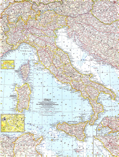
- Geographical region: Italy