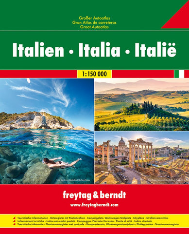
Italy, Great Road Atlas
Road Atlas of Italy at 1:200,000 from Freytag & Berndt in an A4 spiral-bound format, with good presentation of the country’s topography and highlighting of interesting locations, indexed street plans of 24 towns, and mapping of the whole country at 1:1,000,000 of easy route planning.
Road network is annotated with information showing motorway services and junction names, toll routes, seasonal closures, permanent entry restrictions, routes not recommended for caravans, steep gradients, tourist routes and scenic roads, etc. Driving distances are marked on most local roads. Railway lines are shown with stations; ferry connections and local airports are also marked. Towns, villages and other interesting locations are highlighted. Symbols also indicate campsites, mountain refuges, etc. Topography is shown by relief shading with spot heights, colouring for forested areas, and plenty of names of mountain ranges, peaks, valleys, etc. National parks and other protected areas are highli
- Product Number: FB_ITALY_GR_AT_19
- Reference Product Number: 2331255
- ISBN: 9783707917932
- Date of Publication: 7/18/2019
- Folded Size: 11.5 inches high by 9.5 inches wide
- Map format: - None -
- Map type: Atlases - National Atlases
- Geographical region: Italy