Florence, Italy
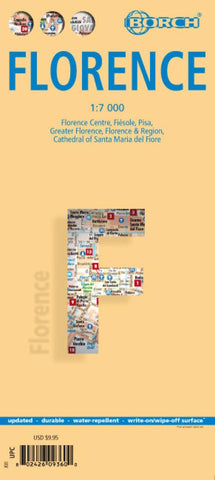
Laminated and waterproof map for visitors to Florence, combining a plan of the city with street plans of Fiésole and central Pisa, a map of the city and its environs, and a road map of most of northern Tuscany. The street plan of Florence at 1:7,000 extends west to Ponte dellla Vittoria, north to beyond the Firenze EXPO, east to Ponte G. da Verranzzano, and south to the Bobolino district to include the Boboli Gardens. The plan shows one way streets and highlights places of interest, selected accommodation, etc. An inset shows Fiésole at 1:12,000.
On the reverse is a street plan of central Pisa also at 1:7,000, from the railway station north to the Leaning Tower. A road map at 1:80,000 covers Florence and its environs, showing access from the A1 motorway and the airport. A wider part of Tuscany is presented at 1:450,000, extending over to Lucca, Pisa and the coast, and south to Siena. All the plans and maps are indexed with lists of streets/localities plus main sights and places
- Product Number: BOR_FLORENCE_23
- Reference Product Number: - None -
- ISBN: 9783866093607
- Date of Publication: 6/15/2023
- Folded Size: 9.45 inches high by 4.33 inches wide
- Unfolded (flat) Size: 22.05 inches high by 19.69 inches wide
- Map format: Folded
- Map type: Trade Maps - City Maps
- Geographical region: Italy

