Tuscany, Italy Adventure Map 3305 by National Geographic Maps
• Waterproof • Tear-Resistant • Travel Map
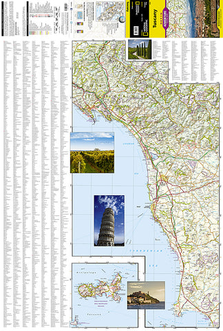
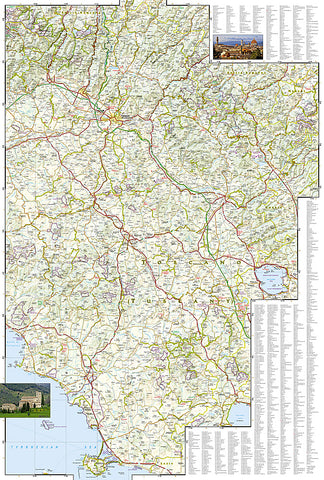
Rolling plains, picturesque mountains, sunny beaches, and architectural masterpieces attract scores of tourists each year who seek to experience first-hand the romantic charm that permeates Tuscanys countryside. Explore this extraordinary destination with National Geographics Tuscany Adventure Map. Hundreds of points of interest are highlighted including archeological sites, menhirs, monuments, palaces, castles, churches, and more, making this map indispensable for travelers seeking to explore the regions rich history. The map includes the locations of cities and towns with a user-friendly index, plus a clearly marked road network complete with distances and designations for motorways, expressways, main roads, scenic routes, and more. Users will find a variety of helpful travel aids on this map as well, including the location of airports, airfields, railroads, ferry routes, harbors, and anchorages.
Tuscanys coastline and the western portion of the province are shown on the front including the cities of Pisa and Livorno. An inset map of the Arcipelago Toscano National Park provides greater detail of the islands. The reverse side of the map covers the eastern portion of the province and shows the cities of Florence, Grosseto, Siena, and Arezzo. Lake Tresimeno in neighboring Umbria is also included.
Every Adventure Map is printed on durable synthetic paper, making them waterproof, tear-resistant and tough - capable of withstanding the rigors of international travel.
Map Scale = 1:220,000
- Product Number: 2050629M
- Product Code: NG_AM_TUSCANY
- Publisher Product ID: AD00003305
- ISBN: 9781566955379
- Year of Publication: 2011
- Folded Size: 9.45 x 4.330 inches
- Unfolded Size: 36.61 x 24.8 inches
- Map type: Folded Map
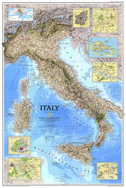
- Geographical region: Italy