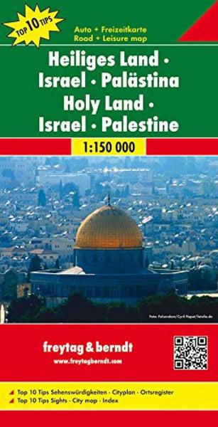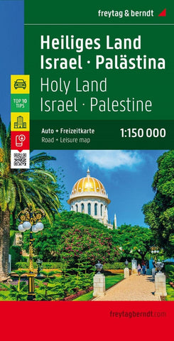
Holy Land, Israel and Palestine Road Map
Israel - Palestine - Holy Land Top 10 Tips Map at 1:150,000 from Freytag & Berndt with a booklet containing an index, brief descriptions of region’s 10 most popular destinations, plus a street plan of Jerusalem’s Old City.
The map divides the country north/south (roughly half way between Jerusalem and Hebron), with the southern tip of the Negev Desert shown as an inset. Within Israel in pre-1967 boundaries, names of larger towns are shown in both scripts, with smaller towns, villages and geographical names in the Latin alphabet only. In the West Bank, place names are in the Latin alphabet only, with the main Jewish settlements in both scripts.
Despite its large lettering, outside the main Tel-Aviv/Herzliya conurbation the map very effectively shows the country’s topography, with bold relief shading, spot heights and plenty of names of geographical features. Road network includes names of most junctions, useful when travelling across the country.
Symbols h
- Product Number: FB_ISR_20
- Reference Product Number: - None -
- ISBN: 9783707907766
- Date of Publication: 6/1/2020
- Folded Size: 10.24 inches high by 5.12 inches wide
- Unfolded (flat) Size: 37.8 inches high by 52.76 inches wide
- Map format: Folded
- Map type: Trade Maps - Travel
- Geographical region: Israel,Palestine