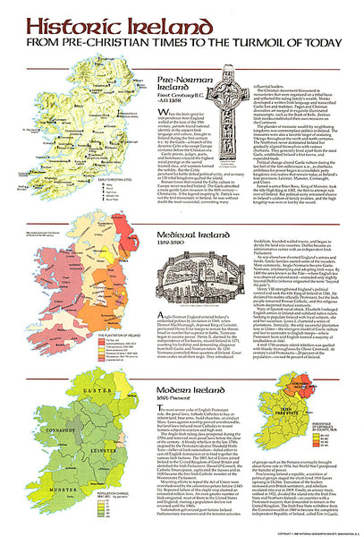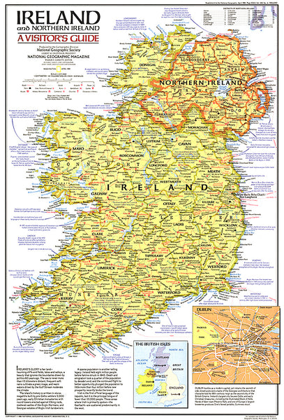
Irland = Ireland = Irlande = Irlanda
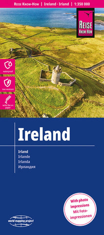
Ireland – Irish Republic and Northern Ireland – at 1:350,000 on a light, waterproof and tear-resistant, indexed map from Reise-Know How, published as part of their highly acclaimed World Mapping project. The map divides Ireland north/south, with Dublin included on both sides.
Landscape is presented by light altitude colouring with names of hill ranges and other topographic features and highlighting for national parks and other protected areas. Road network includes local roads, gives driving distances (in kms) on main and secondary roads, and shows locations of petrol stations. Railway lines, ferry links, and local airports are included. Symbols highlight various places of interest including campsites and caravan parks, UNESCO World Heritage sites, archaeological remains, etc. The map has a latitude and longitude grid at intervals of 20’ and an index of place names which includes a separate list of places of interest. Map legend includes English.
- Product Number: RKH_IRE_23
- Reference Product Number: - None -
- ISBN: 9783831773473
- Date of Publication: 6/1/2023
- Folded Size: 10.24 inches high by 4.72 inches wide
- Unfolded (flat) Size: 39.37 inches high by 27.56 inches wide
- Map format: Folded
- Map type: Trade Maps - Road
- Geographical region: Ireland