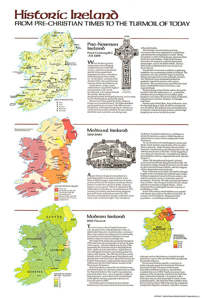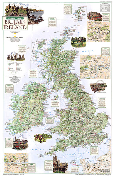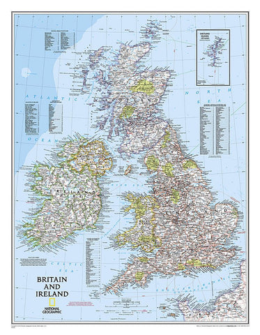
Britain and Ireland : political map
National Geographics classic political map of Britain and Ireland shows country boundaries, thousands of place names, major highways and roads, airports, bodies of water, and more.
Map is printed on premium quality paper stock, rolled, and packaged in a clear, hard plastic tube.
Flat Size mm: 762 x 584
Scale: 1:1,687,000
- Product Number: NG_GB_IRE_WA_9
- Reference Product Number: 2030822M
- ISBN: 9780792249559
- Date of Publication: 6/1/2009
- Unfolded (flat) Size: 23.23 inches high by 30.31 inches wide
- Map format: Wall
- Map type: Trade Maps - Political
- Geographical region: Ireland,United Kingdom
- Geographical subregion: England,Northern Ireland,Scotland,Wales