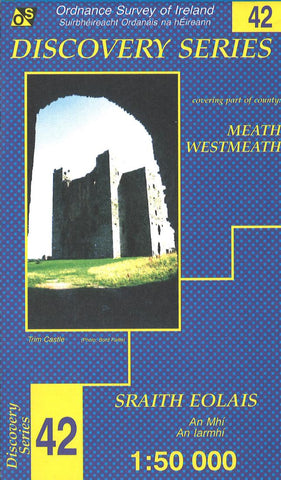
Meath, Westmeath, Ireland Discovery Series #42
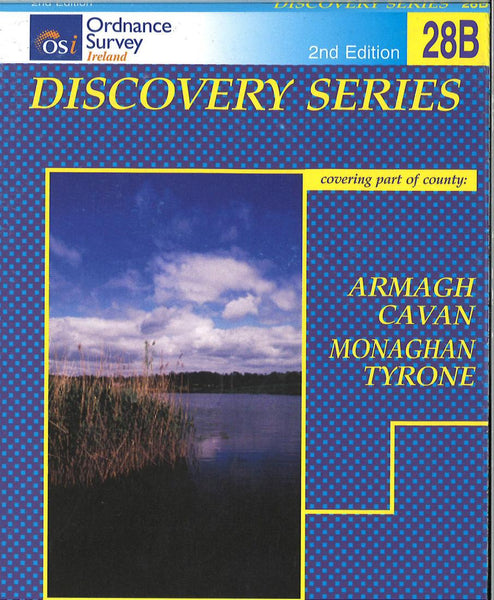
This Ordnance Survey map of Counties Meath and Westmeath shows road and topographic details for the area. This map is printed in color on one side with an index on the reverse.
- Product Number: IRE50_42_MEAT_97
- Reference Product Number: 2292905M
- ISBN: 9781901496062
- Date of Publication: 6/1/1997
- Folded Size: 7.09 inches high by 4.33 inches wide
- Unfolded (flat) Size: 38.19 inches high by 27.17 inches wide
- Map format: Folded
- Map type: Topographic - General Topographic
- Geographical region: Ireland

