Great Britain : Ireland : Euro map = Grossbritannien : Irland
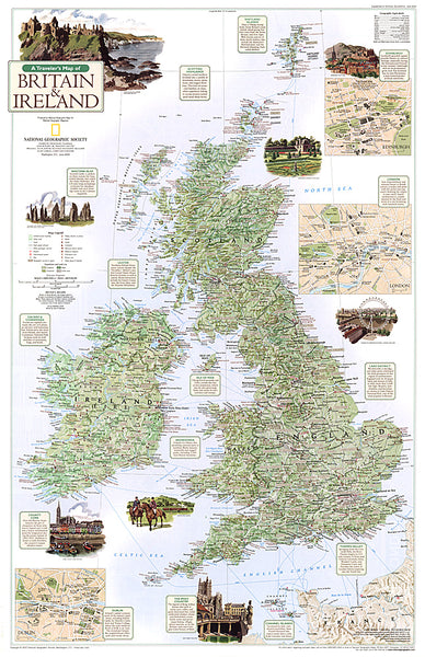
Large, folded road map of Great Britain and Ireland with attached index booklet. Features Distoguide (adjustable distance chart pull tab in back cover). Printed on one side. Multilingual legend.
- Product Number: H_GB_10
- Reference Product Number: 2037397M
- ISBN: 9783828300231
- Date of Publication: 6/1/2010
- Folded Size: 9.84 inches high by 5.12 inches wide
- Unfolded (flat) Size: 38.98 inches high by 49.21 inches wide
- Map format: Folded
- Map type: Trade Maps - Travel
- Geographical region: Ireland,United Kingdom
- Geographical subregion: England,Northern Ireland,Scotland,Wales

