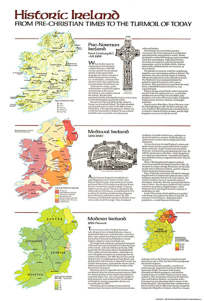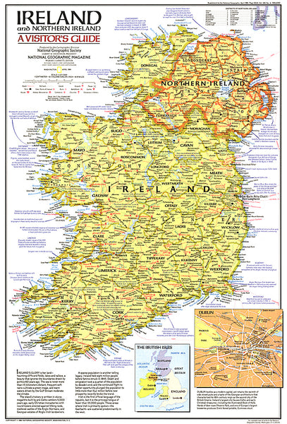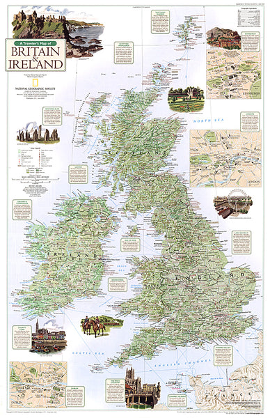
British Isles Wall Map
Our well-loved British Isles map is a striking piece of wall art and useful reference point for the home or office, and we have just updated it for 2014.
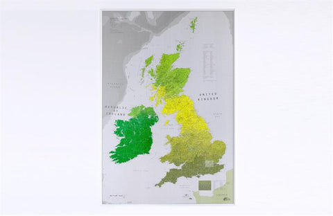
This map is a rarity as it shows the islands in their correct relationships to the mainland, yes, the Channel Islands are down there (practically in France) and Shetland really is half way to Norway.
Wherever we live in Britain we are a nation of map lovers. If no longer because we are all off sailing the seven seas, then because we have the worlds most wonderfully ridiculous place names, Unthank and Upsettlington being a couple of our favourites. Or perhaps its because were fiercely regional, proud of our accents and local delicacies, even if theyre whelks, eels or pork scratchings.
Whatever your attitude to the North-South divide, Scottish independence or the controversial boundaries of the Black Country, you will never have seen our Isles looking so beautiful.
- Product Number: FMC_BIV1PA_
- Reference Product Number: 2325571M
- ISBN: - None -
- Unfolded (flat) Size: 39 inches high by 27 inches wide
- Map format: Wall
- Map type: Trade Maps - Wall Art
- Geographical region: Ireland,United Kingdom
- Geographical subregion: England,Northern Ireland,Scotland,Wales