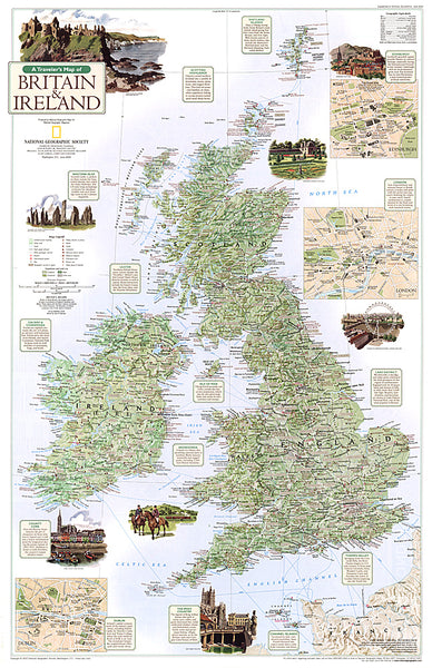
Great Britain and Ireland, Executive, Sleeved by National Geographic Maps
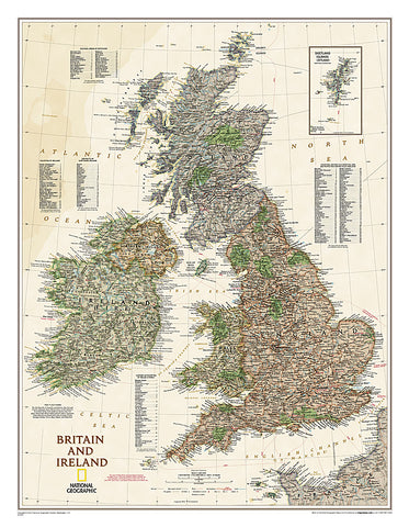
National Geographics Executive political map of Britain and Ireland is both an attractive addition to any study or classroom and an informative tool for exploring these fascinating countries. The map features thousands of place names, major highways and roads, airports, ferry routes, bodies of water, and more. Handy indexes make it easy to identify the counties, districts, council areas, unitary authorities, and metropolitan districts of Ireland, Northern Ireland, Scotland, Wales, and England. An inset provides detail of the Shetland Islands. National parks are clearly indicated in green vignettes, and shaded relief reveals the interesting and varied topography of these island nations.
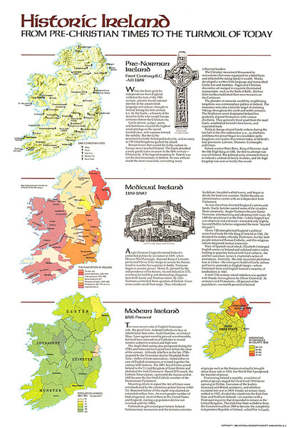
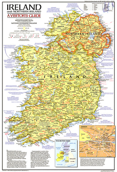
English and Gaelic (Irish) share official status per the Republic of Irelands constitution, so place names are rendered in both. In the Gaeltachtl, or predominantly Irish-speaking regions, only Irish place-names have official status and are used on signposts. These districts are found within the counties of Cork, Donegal, Galway, Kerry, Mayo, Meath, and Waterford.
- Product Number: 2058001M
- Product Code: NG_GB_IRE_E_WA_S
- Publisher Product ID: RE01020442
- ISBN: 9781597752695
- Year of Publication: 2009
- Unfolded Size: 27.17 x 20.87 inches
- Map type: Wall Map
- Geographical region: Ireland