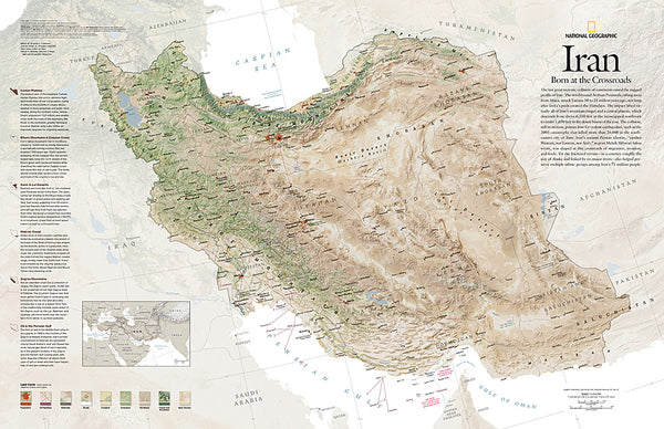
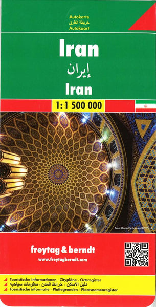
Iran Road Map
Iran at 1:1,500,000 on a large index road map from Freytag & Berndt, with street plans of central Tehran, Esfahan and Shiraz. Bold relief shading and additional graphics provide a good presentation of the country’s topography.
The map has relief shading with spot heights and names of main geographical features, plus coloring and/or graphics to show swamps, salt lakes and flats, deserts, depressions, wells, protected areas, etc. Road network includes selected local tracks and show driving distances on main and secondary routes. Railway lines are marked and local airports are indicated. Also marked are oil fields, both land and in the Gulf, as well as internal administrative boundaries with names of the provinces.
Symbols highlight various places of interest, including UNESCO World Heritage sites. All place names are in Latin alphabet only. Latitude and longitude lines are drawn at intervals of 1º. Extensive index is on the reverse. Multilingual map legend includes Englis
- Product Number: FB_IRN_14
- Reference Product Number: 2038938M
- ISBN: 9783707909777
- Date of Publication: 6/1/2014
- Folded Size: 10.24 inches high by 5.12 inches wide
- Unfolded (flat) Size: 54.13 inches high by 38.19 inches wide
- Map format: Folded
- Map type: Trade Maps - Travel
- Geographical region: Iran