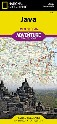
Java Adventure Map 3020 by National Geographic Maps
• Waterproof • Tear-Resistant • Travel Map
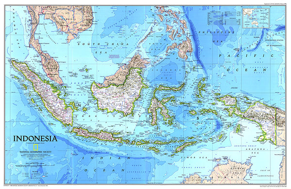
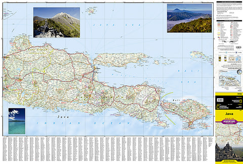
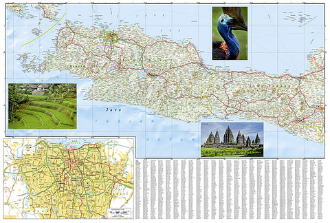
The island of Java is not only home to a majority of the population of Indonesia, but it is also the most populous island in the world. National Geographics Java Adventure Map provides global travelers with the perfect combination of detail and perspective, highlighting points of interest and the diverse and unique destinations within the country. The eastern half of the island is shown on the front side of the print map from the cities of Semarang and Yogyakarta. It also includes the city of Surabaya and the neighboring island of Bali. The western half of the island is covered on the reverse side and an inset map lays out the city of Jakarta in detail.
Designed to meet the needs of adventure travelers, this map includes the location of cities and towns with a user-friendly index and a clearly marked road network complete with distances and designations for roads/highways, plus secondary routes for those seeking to explore off the beaten path. Specialty content such as hundreds of unique recreational, ecological, cultural, and historical destinations make this map the perfect companion to a guidebook. Beaches, yachting harbors, shipwrecks, and areas popular for fishing, diving, and surfing dot Javas extensive coastline. Among the other points of interest are national parks, World Heritage sites, golf courses, campsites, hot springs, religious sites, and museums.
Every Adventure Map is printed on durable synthetic paper, making them waterproof, tear-resistant and tough - capable of withstanding the rigors of international travel.
Map Scale = 1:700,000
- Product Number: 2059765M
- Product Code: NG_AM_JAVA
- Publisher Product ID: AD00003020
- ISBN: 9781566956130
- Year of Publication: 2012
- Folded Size: 9.45 x 4.330 inches
- Unfolded Size: 20.87 x 32.68 inches
- Map type: Folded Map
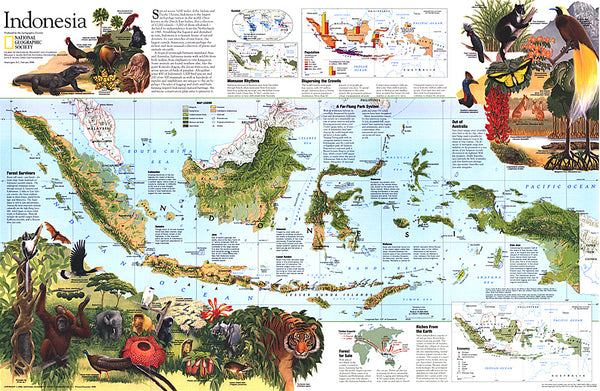
- Geographical region: Indonesia