

Bali, Lombok and Komodo Adventure Map 3005 by National Geographic Maps
• Waterproof • Tear-Resistant • Travel Map
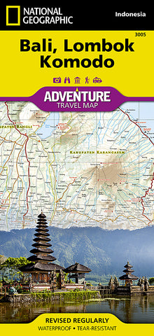
Discover the natural beauty and exciting recreational opportunities available to travelers in Indonesia with National Geographics Adventure Map of Bali, Lombok, and Komodo. This map includes the locations of thousands of towns and villages, plus a clearly marked road network complete with distances and designations for expressways, major routes, and secondary roadways. Rough tracks and paths are included for adventurers seeking to explore more remote regions. Hundreds of points of interest are highlighted including World Heritage sites, national parks, golf courses, botanical gardens, and religious sites are noted in addition to a beaches and a variety of sites for surfing, diving, and fishing.
The front side shows the islands of Lombok and Komodo. Bali and Nusa Penida are detailed on the reverse side. A small inset of the Lesser Sunda Islands shows the location of Bali, Lombok, and Komodo in the island chain. The locations of airports, airfields, harbors, anchorages, ferry routes, and traditional boat routes take the guesswork out of travel around the islands. Tourist information centers are also marked for travelers seeking additional resources.
Every Adventure Map is printed on durable synthetic paper, making them waterproof, tear-resistant and tough - capable of withstanding the rigors of international travel.
Map Scale = 1:155,000
- Product Number: 2050605M
- Product Code: NG_AM_BALI
- Publisher Product ID: AD00003005
- ISBN: 9781566955256
- Year of Publication: 2012
- Folded Size: 9.45 x 4.330 inches
- Unfolded Size: 24.8 x 36.61 inches
- Map type: Folded Map
- Geographical region: Indonesia