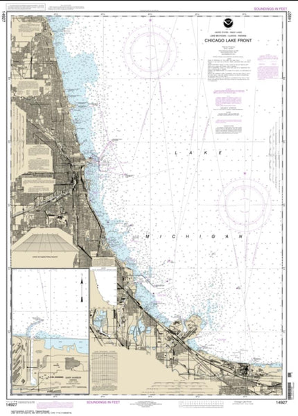
~ Aurora IL topo map, 1:250000 scale, 1 X 2 Degree, Historical, 1958, updated 1974
Aurora, Illinois, USGS topographic map dated 1958.
Includes geographic coordinates (latitude and longitude). This topographic map is suitable for hiking, camping, and exploring, or framing it as a wall map.
Printed on-demand using high resolution imagery, on heavy weight and acid free paper, or alternatively on a variety of synthetic materials.
Topos available on paper, Waterproof, Poly, or Tyvek. Usually shipping rolled, unless combined with other folded maps in one order.
- Product Number: USGS-5532899
- Free digital map download (high-resolution, GeoPDF): Aurora, Illinois (file size: 20 MB)
- Map Size: please refer to the dimensions of the GeoPDF map above
- Weight (paper map): ca. 55 grams
- Map Type: POD USGS Topographic Map
- Map Series: HTMC
- Map Verison: Historical
- Cell ID: 68655
- Scan ID: 310146
- Imprint Year: 1974
- Woodland Tint: Yes
- Aerial Photo Year: 1968
- Edit Year: 1971
- Field Check Year: 1958
- Datum: Unstated
- Map Projection: Transverse Mercator
- Map published by United States Geological Survey
- Map published by: Military, Other
- Map Language: English
- Scanner Resolution: 600 dpi
- Map Cell Name: Aurora
- Grid size: 1 X 2 Degree
- Date on map: 1958
- Map Scale: 1:250000
- Geographical region: Illinois, United States
Neighboring Maps:
All neighboring USGS topo maps are available for sale online at a variety of scales.
Spatial coverage:
Topo map Aurora, Illinois, covers the geographical area associated the following places:
- Colonial Village - Amboy - Tamarack Fairways - Lisbon North - Lisbon Center - Honey Creek - Douglas Park - La Salle - Zearing - Mineral - Stavanger - Riverwood Estates - Depue - Palmyra - Nettle Creek - Ohio - Evanswood - Wenona - Centerville (historical) - Welco Corners - Broadmoor - Brookwood Estates - Deer Run - Dover - Jewell Road - Hastings - Crestwood Acres - Campton Pines - Cinnamon Creek - Frontenac - Wheatland South - Elva - East Joliet - Spring Lake Mobile Home Park - Malden - Basham Carriage Manor Estates - Katy Did - Heritage West - Essex - Claypool - Central - Jefferson Corners - Bristol - Prairie Knoll - Heritage Meadows - Tonica - Fox Meadow - Vermilionville - Oswego - Lakewood - South Park - Boulder Hill - Lehigh - Indian Creek - Shenandoah - Pheasant Chase - Somerfield - Broken Arrow - Riverwalk - Wallin Woods - Walker - Geneva Road - Sayles Manor - Shady Hollow - Tampico - Roselle - Plainsman Terrace - Valley Vista Estates - Catharine - Sanfordville (historical) - Channahon - Bakers Acres - Spring Green - Foxfield - Quail Run - Hennepin - Park Place - Verona - Forest Manor - Stonegate - Milla - Campus - Montgomery - Prestbury - Sparland - Lost Nation - Medinah - Ridgecrest - Rivercrest Estates - Morse - Sterling - The Burg - Kangley - Freedom Centre (historical) - Fields of Saratoga - Willow Ridge - Prairie Trail - Hazelhurst - Woodlawn Trailer Court - Ancona
- Map Area ID: AREA4241-90-88
- Northwest corner Lat/Long code: USGSNW42-90
- Northeast corner Lat/Long code: USGSNE42-88
- Southwest corner Lat/Long code: USGSSW41-90
- Southeast corner Lat/Long code: USGSSE41-88
- Northern map edge Latitude: 42
- Southern map edge Latitude: 41
- Western map edge Longitude: -90
- Eastern map edge Longitude: -88

