Free Shipping on map orders over $300 - Prices in US$
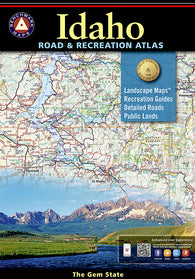
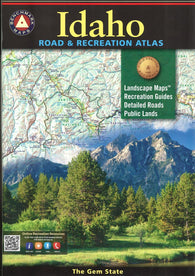
Idaho Road and Recreation Atlas by Benchmark Maps
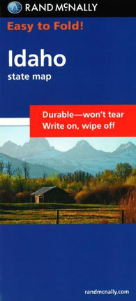
Idaho, Easy to Fold by Rand McNally
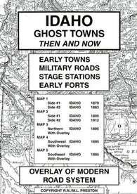
Idaho, Ghost Towns, 5-Map Set, Then and Now by Northwest Distributors
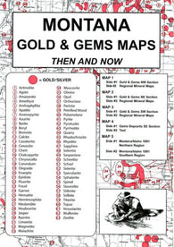
Idaho, Gold and Gems, 5-Map Set, Reported Occurrences by Northwest Distributors
Idaho, Pearl Map, laminated by GM Johnson
Idaho, Physical Wall Map by Raven Maps
Idaho, Physical, Laminated Wall Map by Raven Maps
Idaho, Road Map by GM Johnson
Idaho, Southeast by GM Johnson
Idaho, Southwest by GM Johnson
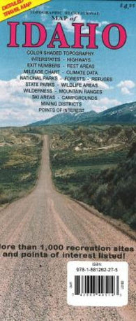
Idaho, Topographic Recreational Map by GTR Mapping
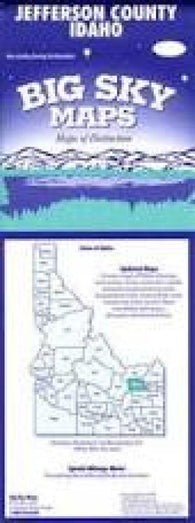
Jefferson County, Idaho by Big Sky Maps
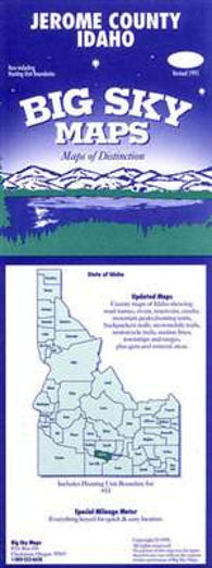
Jerome County, Idaho by Big Sky Maps
Kootenai County, Idaho by Big Sky Maps
Lake Pend Oreille (18554-8) by NOAA
Lewis County, Idaho by Big Sky Maps
Madison County, Idaho by Big Sky Maps
McCall, Idaho Trail Map by Adventure Maps
Minidoka County, Idaho by Big Sky Maps
Nez Perce County, Idaho by Big Sky Maps
Oneida County, Idaho by Big Sky Maps
Owyhee County, Idaho by Big Sky Maps
Payette County, Idaho by Big Sky Maps
Power County, Idaho by Big Sky Maps
Sawtooth and White Cloud Mountains, Trail Map by Adventure Maps
Sawtooth Wilderness, Idaho, waterproof by Earthwalk Press
Shoshone County, Idaho by Big Sky Maps
Sun Valley, Idaho, Trail Map by Adventure Maps
Teton County, Idaho by Big Sky Maps
Twin Falls County, Idaho by Big Sky Maps
Twin Falls, Idaho by The Seeger Map Company Inc.
Twin Falls, Sun Valley, Ketchum, Idaho Falls and Pocatello, Idaho by GM Johnson
Valley County, Idaho by Big Sky Maps
Washington County, Idaho by Big Sky Maps
YellowMaps U.S. Topo Maps Volume 5 (Zone 11-1) Northern Idaho & Eastern Washington
~ Aberdeen ID topo map, 1:24000 scale, 7.5 X 7.5 Minute, Current, 2013
~ Aberdeen ID topo map, 1:24000 scale, 7.5 X 7.5 Minute, Historical, 1971, updated 1974
~ Aberdeen ID topo map, 1:24000 scale, 7.5 X 7.5 Minute, Historical, 2010
~ Abes Knob ID topo map, 1:24000 scale, 7.5 X 7.5 Minute, Current, 2013