Iceland Tectonic Map
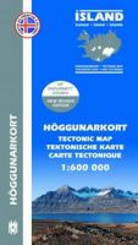
A tectonic map of Iceland by Mál og menning in cooperation with the Icelandic Institute of Natural History. It provides an insight into the country’s geological structure and tectonic activity, with multilingual notes on the reverse explaining some of the features portrayed.
The general geology is classified on this map by age rather than by type, through clearly distinguished colours. The Miocene and Pliocene epochs are represented in Iceland and they are subdivided here into 7 age bands, from lower Miocene to post-glacial lava flows < 14,000 years old. Active and extinct volcanic systems are indicated along with their associated calderas, axial rift zones, fissure swarms, offrift flank zones, dike and fault swarms, and domains of central volcanoes. Other details include anticlinal and synclinal axes, dips directions, faults and fractures, unconformities and monoclinic flexure zones.
The basic topographic information shows glaciers, 100m contours, spot heights, built-u
- Product Number: MOM_ICE_TEC_9
- Reference Product Number: 2303798M
- ISBN: 9789979330455
- Date of Publication: 6/1/2009
- Folded Size: 9.06 inches high by 5.12 inches wide
- Unfolded (flat) Size: 37.4 inches high by 25.2 inches wide
- Map format: Folded
- Map type: Trade Maps - Specialty
- Geographical region: Iceland

