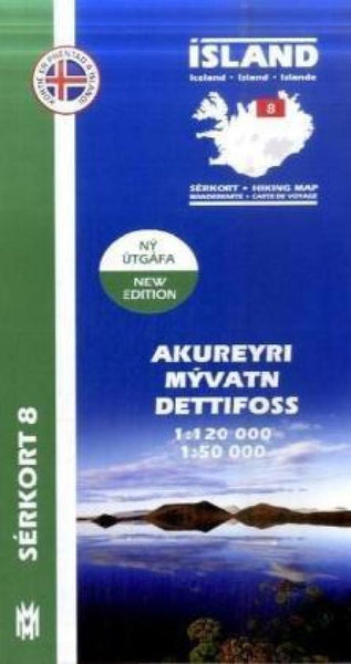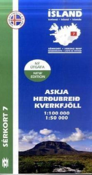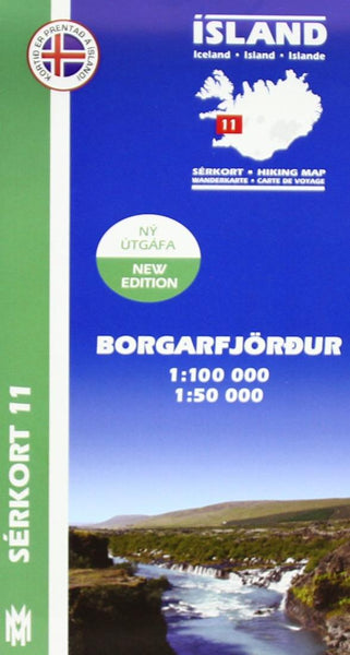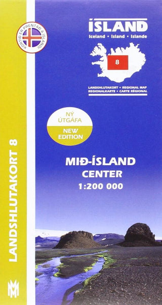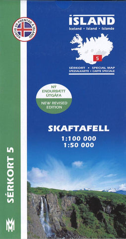
Skaftafell Trekking Map
This Mal og Menning title provides topographic and hiking details for Skaftafell wilderness area in Vatnajökull National Park. The front of the map features a 1:50000 scale of Skaftafell, while the reverse features another map of the same area (1:50,000), as well as information about birds that can be seen in the area.
All heights are listed in meters, with 100 m contours on the 1:100,000 map and 20 m contours on the 1:50,000 map.
The maps legend is very detailed and includes references to: farms, churches, campsites, schools, swimming pools, summer houses, golf courses, and ruins and
deserted courtyards,
Map legend is in English, Icelandic, German, and French.
- Product Number: MOM_5_SKA_19
- Reference Product Number: 2303768M
- ISBN: 9789979330363
- Date of Publication: 6/1/2019
- Folded Size: 9.06 inches high by 5.12 inches wide
- Unfolded (flat) Size: 39.37 inches high by 27.17 inches wide
- Map format: Folded
- Map type: Trade Maps - Road
- Geographical region: Iceland

