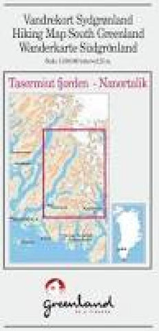
Tasermiut fjorden - Nanortalik hiking map
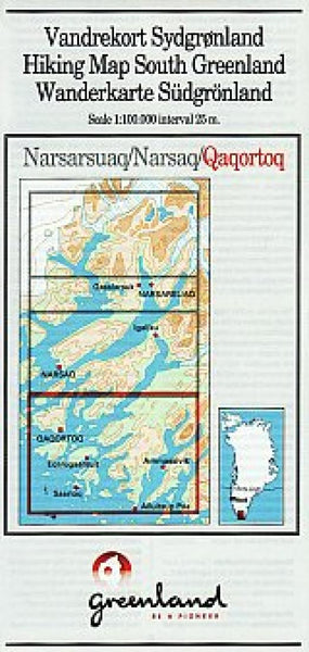
This Compukort title provides hiking and trekking details for Tasermiut fjorden and Nanortalik at 1:100,000 scale.
- Product Number: GRE_TASER_17
- Reference Product Number: 2307145M
- ISBN: - None -
- Date of Publication: 6/1/2017
- Folded Size: 8.27 inches high by 3.94 inches wide
- Unfolded (flat) Size: 16.54 inches high by 23.62 inches wide
- Map format: Folded
- Map type: Trade Maps - Hiking
- Geographical region: Greenland

