Korfu : 1:65 000 = Corfu : 1:65 000 = Corfou : 1:65 000 = Corfú : 1:65 000
Corfu on clear, waterproof and tear-resistant, indexed map with topographic and tourist information, published by Reise Know-How as part of their highly acclaimed World Mapping Project. Topography is shown by altitude colouring with contours and spot heights, and includes seasonal streams. Road network shows local roads and tracks, gives driving distances and indicates locations of petrol stations. Ferry routes to Igoumenitsa, Albania, Italy and the nearby Paxos are shown on a separate inset which presents Corfu with the adjoining mainland where campsites are also marked.
Symbols show locations of various places in interest, including viewpoints, beaches, archaeological sites, churches and monasteries, campsites, harbours and marinas, etc. Names of towns and villages are in both scripts on the map and in the accompanying index; geographical information and places of interest are in Roman alphabet only. The map has both a UTM grid and latitude and longitude at intervals of 5’. M
- Product Number: RKH_CORFU_19
- Reference Product Number: 2338738M
- ISBN: 9783831774234
- Date of Publication: 6/1/2019
- Folded Size: 10.24 inches high by 4.72 inches wide
- Unfolded (flat) Size: 27.56 inches high by 39.37 inches wide
- Map format: Folded
- Map type: Trade Maps - Road
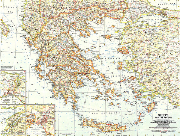
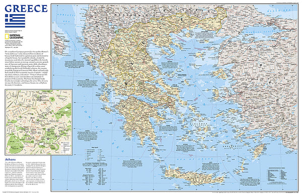
- Geographical region: Greece