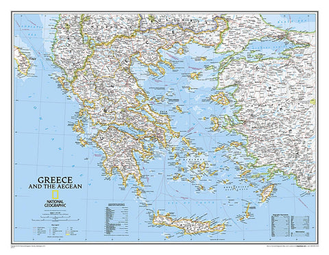
Greece and the Aegean : political map
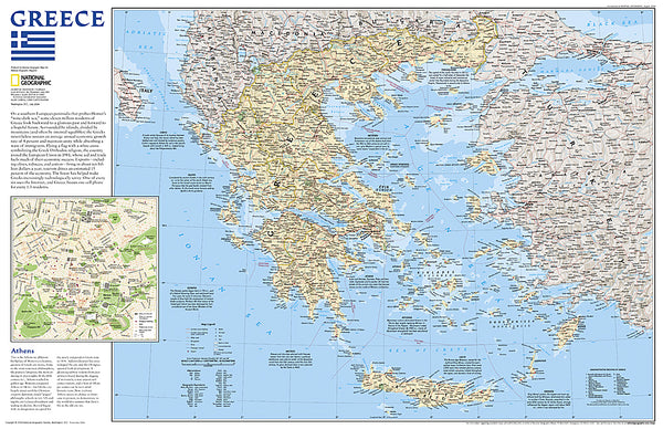
National Geographic’s wall map of Greece and the Aegean is one of the largest and most detailed maps of the area. The signature Classic style design uses a bright, easy-to-read color palette and stunning shaded relief. Coverage includes mainland Greece along with areas of bordering Albania, Macedonia, Bulgaria and Turkey. Surrounding waterways, like the Aegean and Ionian Seas are shown with depth curves and soundings along with hundreds of islands, including Crete, Rhodes and Euboea. Also shown are thousands of place names, accurate boundaries, national parks, ruins and major infrastructure networks such as roads, highways, airports, railroads, canals and ferry routes.
The map is packaged in a 2-diameter clear plastic tube. The tube has a decorative label showing a thumbnail of the map with dimensions and other pertinent information.
- Product Number: NG_GRE_WA_10
- Reference Product Number: 2030858M
- ISBN: 9780792249696
- Date of Publication: 6/1/2010
- Unfolded (flat) Size: 29.92 inches high by 24.02 inches wide
- Map format: Wall
- Map type: Trade Maps - Political
- Geographical region: Greece