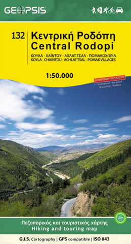
Central Rodopi : Koula-Chaintou-Achlat Tsal-Pomak villages
Pay a visit to the Pomak villages, walk the tracks of wolves, wild boars and bears. Also starring: the highest waterfall of the Balkans. Hear the call of the wild! A 100x70cm folded map for the Central Part of the Rodopi Mountain Range in Greece, printed on the indestructible and totally waterproof material POLYART.
- Product Number: GPS_ROD_C_14
- Reference Product Number: 2173131M
- ISBN: 9789609960236
- Date of Publication: 6/1/2014
- Folded Size: 9.06 inches high by 5.12 inches wide
- Unfolded (flat) Size: 39.37 inches high by 26.77 inches wide
- Map format: Folded
- Map type: Trade Maps - Travel
- Geographical region: Greece