Lesbos, road map 1:50,000
Lesbos at 1:50,000 on an indexed, GPS compatible map from Freytag & Berndt with brief descriptions of places of interest highlighted on the map, plus a street plan of Mitilini. The map is double-sided, dividing the island east/west, with a very generous overlap between the sides.
Topography of the island is shown by bold relief shading, enhanced by contours at 40m intervals. All place names are given in both Greek and Latin alphabet. Road network includes small local roads and selected cart tracks, showing driving distances on main and secondary routes. Ferry connections are marked.
The island’s best sights are prominently highlighted and provided with brief multilingual descriptions in a booklet attached to the map cover. Various other places of interest are marked and named on the map, including numerous beaches and churches/monasteries.
The map has a UTM grid, plus latitude and longitude margin ticks. The index, placed in the booklet, provides GPS waypoints for all
- Product Number: FB_LESBOS_15
- Reference Product Number: 2332777M
- ISBN: 9783707913309
- Date of Publication: 7/16/2015
- Folded Size: 10.02 inches high by 5.11 inches wide
- Unfolded (flat) Size: 10.02 inches high by 5.11 inches wide
- Map format: Folded
- Map type: Trade Maps - Road
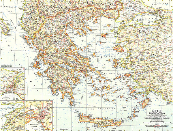
- Geographical region: Greece