Syros (1:20 000) Hiking Map
Hiking map of Syros island in a scale of 1:25.000
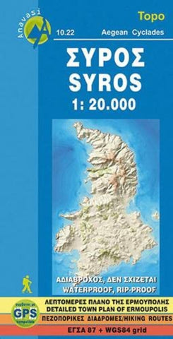
Syros in the Cyclades on light, a waterproof and tear-resistant, contoured and GPS compatible map at 1:20,000 from Anavasi for exploring the island on foot or by car. On the reverse is a street plan of Ermoupoli / Hermoupolis showing various facilities and places of interest, plus contact details for various accommodation options.
Landscape of the island is vividly shown by contours at 10m with altitude colouring, hill shading and spot heights. The map indicates dirt roads in poor condition and difficult tracks, with distances marked on many local routes, plus locations of petrol stations. Country paths distinguish between wide and well defined or narrow and/or poorly defined routes. Recommended hiking trails indicate their approximate duration. Symbols show campsites and places of interest including beaches, archaeological sites, etc. All place names are in both Greek and Latin alphabets. The map has a 1km UTM grid plus l
- Product Number: ANA_SYROS_HIKE_11
- Reference Product Number: - None -
- ISBN: 9789608195356
- Date of Publication: 1/1/2011
- Map format: Folded
- Map type: Trade Maps - Hiking
- Geographical region: Greece