Gramos - Smolikas -Voio -Vasilitsa (1:50 000)
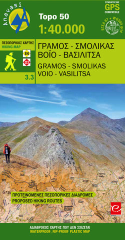
The hiking map of Gramos*, Smolikas, Voio, Vasilitsa in scale 1:40 000.
The highest peak is Tsuka Petsik with an altitude of 2520m. Gramos is the fourth highest mountain in Greece after Olympus, Smolikas and Voras.
This map covers the region north of the Zagori up to the Albanian border. A mountainous landscape of alternating peaks and ridges. The large riverbed of Sarandtaporos delilimits Mts Gramos, Smolikas and Voio.
Almost inaccessible for decades after the civil war, the area is once again gaining the interest of travelers, as it offers an inexhaustible field for nature-loving and cultural exploration. The hiking map of Gramos-Smolikas-Voio-Vasilitsa covers all Gramochoria and Akritochoria, while in the northeast the map reaches Nestorio. Further south are the Mastorochoria and Kastanochoria of Voio with the wonderful chestnut forests. In addition, several new hikes and dirt roads have been added to the map.
12/05/2020 - MAP CORRECTIONS
In the p
- Product Number: ANA_GRAMOS_SMOL_VASI_HIKE_19
- Reference Product Number: - None -
- ISBN: 9789608195929
- Date of Publication: 1/1/2019
- Folded Size: 9 inches high by 4.89 inches wide
- Unfolded (flat) Size: 38.9 inches high by 26.6 inches wide
- Map format: Folded
- Map type: Trade Maps - Hiking
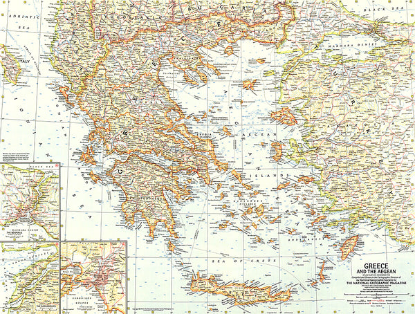
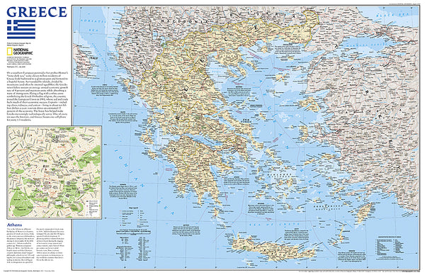
- Geographical region: Greece