Mt Chelmos - Vouraikos (1:30 000)
Hiking map for mount Chelmos in scale 1:30 000
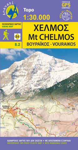
Updated hiking map of Chelmos (or Helmos) in a scale of 1:30 000, the highest peak in Achaia (2355?m). The map covers the area in Northern Peloponnese from Lake Tsivlos and from the forests of Zarouchla to the gorge of the Styx; from the source of the river Aroanios (Aroania being the ancient name of mount Chelmos), ancient Klitoria and the Cave of the Lakes to the remains of ancient Lousii; from the fertile farmlands of the Kerinitis valley to the panoramic view of Mt Klokos - all around the visitor unfolds a landscape rich in its beauty and its history.
The hiking maps of Anavasi editions cover selected mountain areas of central mainland Greece and the Peloponnese with GPS compatible, detailed topographic road maps at 1:30 000, printed on waterproof and tear-resistant paper. The plan of central Patras is conveniently placed on the detachable map cover.
Contours at 20m intervals, relief shading and spot
- Product Number: ANA_CHELMOS_VOUR_HIKE_20
- Reference Product Number: - None -
- ISBN: 9789608195332
- Date of Publication: 1/1/2020
- Folded Size: 9.15 inches high by 4.9 inches wide
- Unfolded (flat) Size: 38.8 inches high by 26.6 inches wide
- Map format: Folded
- Map type: Trade Maps - Hiking
- Geographical region: Greece