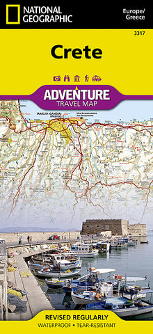


Crete, Greece Adventure Map 3317 by National Geographic Maps
• Waterproof • Tear-Resistant • Travel Map
National Geographics Crete Adventure Map is designed to meet the needs of adventure travelers with its detailed, accurate information and user-friendly design. This map includes the locations of thousands of towns and villages, plus a clearly marked road network complete with distances and designations for expressways and roadways. Secondary roads, tracks, and paths are included for adventurers seeking to explore more remote regions. With specialty content to include hundreds of diverse and unique recreational, ecological, cultural, and historical destinations, this map is a perfect companion to a guidebook. Whether your aim is to see the manmade attractions such as antiquity sites, churches, monasteries, and monuments, or youd like to explore the natural beauty of Crete on its beaches and hiking trails, this map with prove invaluable in your travels.
The front side details the eastern region of the island with the Sea of Crete to the north. The reverse side of the map shows the western region of the island with the Aegean Sea to the north and the Mediterranean Sea to the south. The locations of airports, airfield, harbors, and ferry routes take the guesswork out of travel around the island.
Every Adventure Map is printed on durable synthetic paper, making them waterproof, tear-resistant and tough - capable of withstanding the rigors of international travel.
Map Scale = 1:150,000
- Product Number: 2059763M
- Product Code: NG_AM_CRETE
- Publisher Product ID: AD00003317
- ISBN: 9781566956222
- Year of Publication: 2012
- Folded Size: 9.45 x 4.330 inches
- Unfolded Size: 24.8 x 36.61 inches
- Map type: Folded Map
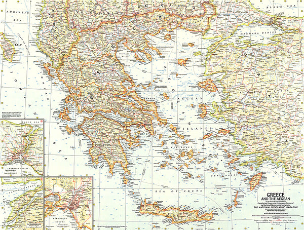
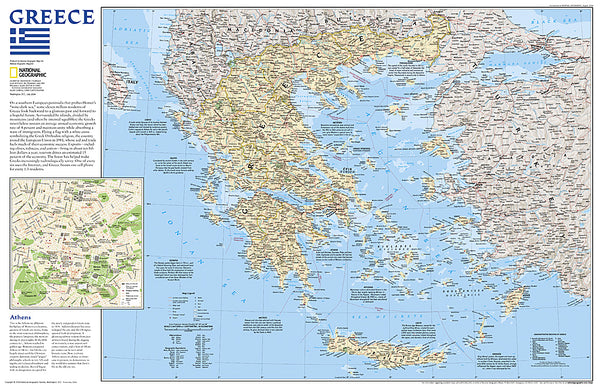
- Geographical region: Greece