
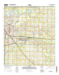
~ Albany East GA topo map, 1:24000 scale, 7.5 X 7.5 Minute, Current, 2014
Albany East, Georgia, USGS topographic map dated 2014.
Includes geographic coordinates (latitude and longitude). This topographic map is suitable for hiking, camping, and exploring, or framing it as a wall map.
Printed on-demand using high resolution imagery, on heavy weight and acid free paper, or alternatively on a variety of synthetic materials.
Topos available on paper, Waterproof, Poly, or Tyvek. Usually shipping rolled, unless combined with other folded maps in one order.
- Product Number: USGS-7534279
- Free digital map download (high-resolution, GeoPDF): Albany East, Georgia (file size: 33 MB)
- Map Size: please refer to the dimensions of the GeoPDF map above
- Weight (paper map): ca. 55 grams
- Map Type: POD USGS Topographic Map
- Map Series: US Topo
- Map Verison: Current
- Cell ID: 398
- Datum: North American Datum of 1983
- Map Projection: Transverse Mercator
- Map Cell Name: Albany East
- Grid size: 7.5 X 7.5 Minute
- Date on map: 2014
- Map Scale: 1:24000
- Geographical region: Georgia, United States
Neighboring Maps:
All neighboring USGS topo maps are available for sale online at a variety of scales.
Spatial coverage:
Topo map Albany East, Georgia, covers the geographical area associated the following places:
- Five Points - Isabella Heights - Butler Subdivision - Tompkins Village - Stroms - Dosaga - Pineview - Grove Park - Turner City - Eleanor Village - Avert Acres - Paradise Village Mobile Home Park - Eastgate - Powell Place - East Albany - Catalina Beach Estates - Pecan Terrace - Baker Heights - Pecan City - Brierwood - Ruark (historical) - Woodland Acres - Mayfair - Sandalwood - Oak Grove Estates Mobile Home Park - Sylvandale - Rolling Groves - Oakdale - Pecan Haven - Jackson Heights
- Map Area ID: AREA31.62531.5-84.125-84
- Northwest corner Lat/Long code: USGSNW31.625-84.125
- Northeast corner Lat/Long code: USGSNE31.625-84
- Southwest corner Lat/Long code: USGSSW31.5-84.125
- Southeast corner Lat/Long code: USGSSE31.5-84
- Northern map edge Latitude: 31.625
- Southern map edge Latitude: 31.5
- Western map edge Longitude: -84.125
- Eastern map edge Longitude: -84


