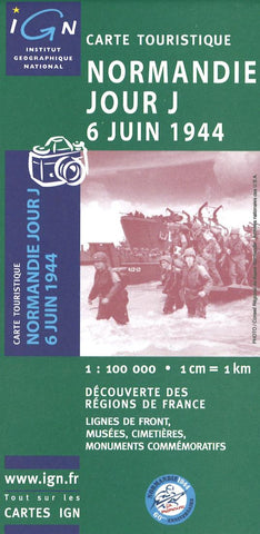
Normandie Jour J 6 Juin 1944
his single-sided map has three large inset maps that show the groupings of the Allied Armies and the defending German forces; the changes in the front lines between June 6th and August 18th; and the locations of present day commemorative sites and monuments, plus additional bilingual notes.
The main panel at 1:100,000 shows the five beaches: Utah, Omaha, Gold, Juno and Sword together with the command structure and the disposition of the Allied Forces, from General Eisenhower to individual units including the supporting airborne divisions, and the defending German forces, plus indicates beach heads and the front line 24 hours later.
A smaller panel at 1:500,000 shows the whole of the Cotintin Peninsula indicating changes in the front line between D-Day and 18th August 1944. Another large panel at 1:250,000 shows north-western Normandy, including Caen and Bayeux, indicating museums, war memorials, military cemeteries and other WWII related information including a suggested
- Product Number: IGN_NORM_4
- Reference Product Number: 2296425M
- ISBN: 3282118110414
- Date of Publication: 6/1/2004
- Folded Size: 9 inches high by 4 inches wide
- Unfolded (flat) Size: 47 inches high by 35 inches wide
- Map format: Folded
- Map type: Trade Maps - Historical
- Geographical region: France

