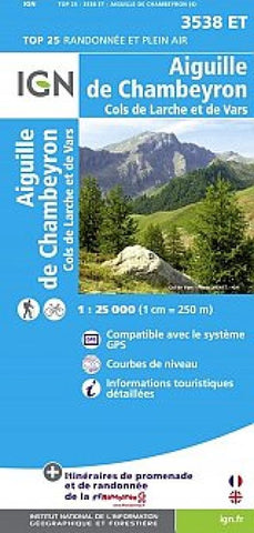
Aiguille de Chambeyron
This IGN map shows hiking, trekking, and biking details for Aiguille de Chambeyron and Cols de Larche et de Vars. The legend and information is in French and English.
- Product Number: IGN25_3538ET_13
- Reference Product Number: 2324112M
- ISBN: 9782758531005
- Date of Publication: 6/1/2013
- Folded Size: 9.45 inches high by 4.33 inches wide
- Unfolded (flat) Size: 47.24 inches high by 35.43 inches wide
- Map format: Folded
- Map type: Topographic - General Topographic
- Geographical region: France

