WWI: Vimy (France) Trench Map
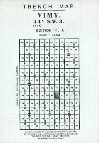
Vimy 44A SW3 From the collection of A. J. Peacock, based on an Ordnance Survey of February 1917, with trenches corrected to 10, February, 1917. This fascinating map covers places like Souchez, Givenchy, the Canal de Lens and Lievin. The area was one in which tunnelling and mining was a great feature of the war. Several craters are clearly indicated. This map is a superb companion to the other Vimy map we produce. Scale of 1:10,000.
- Product Number: GHS_VIMY_18
- Reference Product Number: - None -
- ISBN: XL00000084377
- Date of Publication: 5/8/1918
- Folded Size: 5.9 inches high by 4.33 inches wide
- Unfolded (flat) Size: 24.4 inches high by 23.62 inches wide
- Map format: Folded
- Map type: Thematic - Historical
- Geographical region: France

