
WWI Trench Map: Loos (France) & part of 1 Provisional Edition
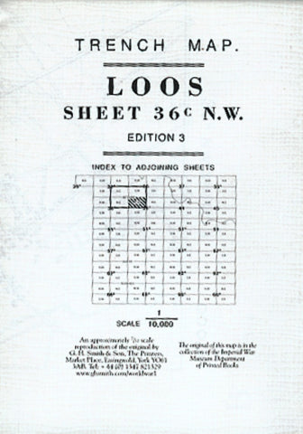
LOOS (France) 36C NW3 and part of 1 provisional edition This map covers the same area as the other Loos map but has additional details, which make for an interesting comparison with it. Many places and sites now have names (for example the Grenay Benifontaine Road, Fosse No7 de Bethune and Fort Glatz). Two large areas at Lens Road Redoubt and Loos Road Redoubt are shown to have been severely cut up by artillery fire and enemys tracks are shown by triple broken lines in red. The map has been modified in other ways. For example, Loos cemetery now has no graves in it, there are woods to the north of the Benifontaine Road and the defences south of Hulluch have been drawn in. It is called a provisional edition. Scale 1:10,000. Trenches corrected to 25 August, 1915
- Product Number: GHS_LOOS_1_ADD_15
- Reference Product Number: - None -
- ISBN: X182503
- Date of Publication: 8/25/1915
- Folded Size: 5.9 inches high by 4.33 inches wide
- Unfolded (flat) Size: 24.4 inches high by 23.62 inches wide
- Map format: Folded
- Map type: Thematic - Historical
- Geographical region: France


