
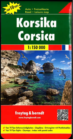
Corsica Road + Leisure Map
Corsica at 1:150,000 from Freytag & Berndt with street plans of central Ajaccio, Bastia, Calvi, Corte, Porto-Vecchio and Bonifacio, plus a booklet attached to the cover with brief descriptions of 10 selected places of interest, all highlighted on the map.
Relief is portrayed by hill-shading, with names of numerous peaks, massifs and plateaux. Road network includes minor local roads and cart tracks. Many scenic routes are prominently highlighted. The island’s railway lines are also shown. Both the GR20 long-distance hiking route and the “Mare e Monti” trail with its variants are marked.
Towns and villages of particular interest are highlighted. Symbols indicate various landmarks, places of interest and facilities, e.g. viewpoints, campsites and youth hostels, golf courses, wildlife parks, beaches, marina, etc. Latitude and longitude lines are drawn at 10 intervals.
Street plans cover central areas of the island’s main towns: Ajaccio, Bastia, Calvi, Corte, Porto-Ve
- Product Number: FB_CORSICA_17
- Reference Product Number: 2273594M
- ISBN: 9783707905823
- Date of Publication: 6/1/2017
- Folded Size: 9.84 inches high by 5.12 inches wide
- Unfolded (flat) Size: 34.25 inches high by 50.79 inches wide
- Map format: Folded
- Map type: Trade Maps - Travel
- Geographical region: France


