
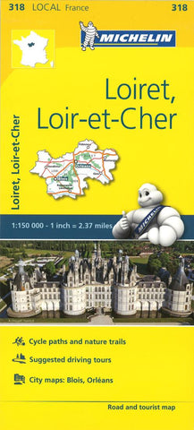
Michelin: Loiret, Loir Et Cher, France Road and Tourist Map by Michelin Travel Partner
From Michelins yellow Departements France series comes this map of the Loiret and Loir-et-Cher departments in France, at 1:150 000 it shows excellent detail of this area. The map has the usual brilliant road detail, characteristic of Michelin maps, with everything from motorways down to rough tracks and footpaths marked out clearly. The number of lanes is indicated on most roads, with intermediate road distances, European route numbers and tolled roads also shown.
The map includes highly detailed relief shading thats derived from satellite photos, with plenty of spot heights also. View points, scenic routes, religious and historic buildings, caves, palaces and villas, parks and loads of other places of touristic interest are marked out with symbols. The legend is in a few lanaguages, one of them is English.
The map also has an inset with some proposed intineraries throughout the department and a number of small town maps covering Blois and Orleans with road names and buildings marked.
Michelin reference no. 318
- Product Number: 2256502M
- Product Code: M_318
- ISBN: 9782067210240
- Year of Publication: 2016
- Folded Size: 9.84 x 4.72 inches
- Unfolded Size: 39.37 x 51.97 inches
- Map type: Folded Map
- Geographical region: France


