
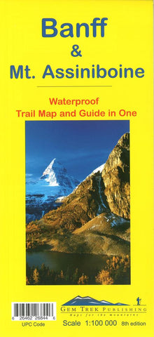
Banff National Park & Mount Assiniboine Trail Map and Guide in One by Gem Trek
This map covers the most popular hiking and mountain biking terrain in Banff National Park, from Lake Louise in the north to the south end of Banff National Park, plus all of Mt. Assiniboine Provincial Park.
All of the day hikes in and around Banff townsite are covered on this map, such as Tunnel Mountain, Sundance Canyon, Bow Falls to the Hoodoos, Johnston Canyon, Castle Mountain Lookout and the network of trails at Sunshine Village. As well, the popular, multi-day hiking and equestrian loops to Egypt Lake, Shadow Lake and the Sawback Trail up through Mystic Pass are shown in their entirety.
You also get full coverage of the access routes in and out of Mt. Assiniboine Provincial Park via Sunshine Meadows and Citadel Pass, or via Bryant Creek from the Mt. Shark trailhead in Kananaskis Country.
Mountain biking enthusiasts can choose from more than ten trails, ranging from easy pedals around the townsite to longer outings such as Goat Creek Trail, Lake Minnewanka, and the Banff Trail-Rundle Riverside route from Canmore to Banff.
On the back of the map are 1:50,000-scale inset maps of the Mt. Assiniboine and Sunshine Village areas. Also on the back are trail descriptions and photos of 19 recommended day hikes, four classic multi-day trips and six mountain bike rides. Each of these described trails is referenced and color-coded to the map on the front.
-contour lines at 50-metre intervals (150 feet)
-full color on both sides
-29 trail descriptions, plus useful contact numbers on the back of the map
- Product Number: 2241775M
- Product Code: GEM_BANFF
- ISBN: 9781895526844
- Year of Publication: 2017
- Folded Size: 10.24 x 4.72 inches
- Unfolded Size: 37.8 x 25.98 inches
- Map type: Folded Map
- Geographical region: Canada


