
Bonaire, Dutch Caribbean, Road Map by Kasprowski Publisher
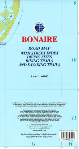
This is currently (2016) the most up-to-date and only complete road map of Bonaire (Scale 1 : 40 000), as well as the Kralendijk urban area, spanning from Santa Barbara Crowns, through the airport, and all the way to Punt Vierkant (Scale 1 : 15 000). An inset of Rincon (Scale 1 : 12 000) is also included. All maps and insets come with thorough street indexes obtained from our surveys and local government agencies. *** The map shows all the islands known roads and streets with their names, as well as an extensive set of biking routes and kayaking trails. *** ALL OFFICIAL DIVING SITES around Bonaire and Klein Bonaire are displayed, most with their GPS locations, as recorded by STINAPA, the islands official conservation foundation. *** The map is sold folded, measuring 5 1/4 x 9 5/8 ( 13.5 cm x 24.5 cm ) and is designed for easy opening and refolding. Its full unfolded format is 26 x 38 5/8 ( 66 cm x 98 cm ). The map can also be hung on a wall to show the entire island. It offers rich topographic detail in an attractive full color layout with a high-quality glossy finish. *** Most important features: (1) Main and secondary roads; diving, snorkeling, and shipwreck sites; biking, hiking, and kayaking trails; beaches, bays, reefs, and marinas; national parks, protected areas, mountain peaks, and other natural features; caves and fossil sites; bird watching, turtle nesting, butterfly and flamingo areas; Indian inscriptions (petroglyphs), slave camp sites, watermills, and other historic locations; international airport, parking areas, sports arenas, medical centers, lighthouses, gas stations, places of worship, schools, police stations, post offices, and other points of interest; (2) Symbol key and scale; depth curves, soundings, heights, and contour lines in meters, longitude and latitude lines and other identifiers.
- Product Number: 2226210M
- Product Code: KAS_BONAIRE
- ISBN: 9791095793021
- Year of Publication: 2016
- Folded Size: 9.84 x 5.24 inches
- Unfolded Size: 38.19 x 25.98 inches
- Map type: Folded Map
- Geographical region: Miscellaneous


