
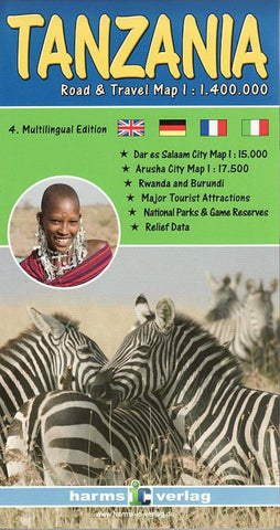
Tanzania, Road and Travel Map by Harms IC Verlag
The map displays the whole country of Tanzania including its two neighbors Rwanda and Burundi at a scale of 1:1,400,000 on one page. It shows also the border areas of neighboring countries Kenya, Uganda, the Republic of Congo, Zambia, Malawi and Mozambique. In addition to the usual information for the car traveler, such as road classes and condition and distances, the map contains aplanty of tourist information incl. National Parks and Game Reserves. Inserted city maps of Arusha and Dar es Salaam show details of the two most visited cities in Tanzania. A table of distances in
kilometres and miles informs about the road distances between the major cities.
The colored terrain representation was automatically created using satellite imagery and digital terrain model information (DTM). It gives a fairly clear image of the country, especially the mountainous areas. All geographical names are written in customary spelling, additional touristic annotations in English.
Multi-lingual legend: English, German, French and Italian.
- Product Number: 2213290M
- Product Code: HV_TAN
- ISBN: 9783927468320
- Year of Publication: 2013
- Folded Size: 9.84 x 5.12 inches
- Unfolded Size: 37.01 x 36.61 inches
- Map type: Folded Map
- Geographical region: Tanzania


