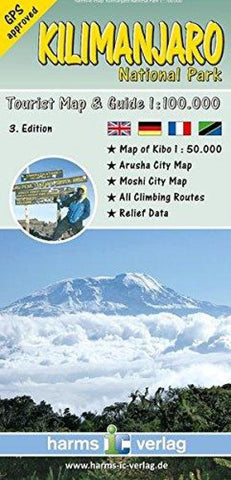
Kilimanjaro National Park, Tourist Map and Guide by Harms IC Verlag
The map represents the entire National Park area at a scale of 1:100,000. By a combination of contour lines, colored elevation layers and a greyscale relief shading the map provides an optimal terrain representation. The map contains all current climbing and descent routes of Mount Kilimanjaro - all routes are GPS-proven
by local rangers. Included city maps of Moshi and Arusha, a detailed map of the summit region of Kibo scaled 1:50,000, and a map of northern Tanzania are useful additions to the main map. Bilingual (German and English) descriptions, illustrated with sketches and many meaningful color photos, provide information on geology, botany, climate and vegetation zones and other facts. All trekking routes
are described in detail. Multi-lingual legend: English, German, French and Kiswahili.
- Product Number: 2213275M
- Product Code: HV_KILIMANJAR
- ISBN: 9783927468290
- Year of Publication: 2013
- Folded Size: 7.87 x 3.94 inches
- Unfolded Size: 23.62 x 26.38 inches
- Map type: Folded Map
- Geographical region: Kenya


