
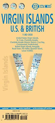
Virgin Islands, U.S. and British by Borch GmbH.
This soft-laminated map of the Virgin Islands includes: US Virgin Islands 1:80 000, St. Croix 1:80 000, Charlotte Amalie 1:15 000, Charlotte Amalie Historic District 1:7 500, Cruz Bay 1:15 000, Christiansted, Frederiksted 1:15 000, British Virgin Islands 1:80 000, Anegada 1:80 000, Road Town, The Valley (Spanish Town) 1:15 000, Lesser Antilles 1:7 000 000, Virgin Islands administrative / time zones; interesting statistics British / US Virgin Islands: conversion chart for temperatures, weights and measures; climate chart with temperatures, sunshine hours, precipitation and humidity; hotels, museums, markets and much more.
Virgin Islands is the name of two groups of small islands east of Puerto Rico which form the Virgin Islands archipelago. They lie between the Caribbean Sea and the Atlantic Ocean. One of the groups which consists of St. Croix, St. John and St. Thomas islands, together with many nearby islets, is called the U.S. Virgin Islands. The other group including Anegada, Jost van Dyke, Tortola, and Virgin Gorda islands, with their own surrounding islets, is known as the British Virgin Islands. The Virgin Islands are rugged and hilly, with little level land. They enjoy a delightful tropical climate the year round. Trade winds blow over the islands most of the year and there are no extremes of heat or cold. Hurricanes, however, may strike occasionally between July and November. Tropical flowers and trees flourish throughout the islands and the seas abound with fish. The excellent climate, the attractive beaches and the beautiful scenery make these islands a paradise worth visiting!
- Product Number: 2208798M
- Product Code: BOR_VIRGIN
- ISBN: 9783866095175
- Year of Publication: 2014
- Folded Size: 9.45 x 4.33 inches
- Unfolded Size: 18.5 x 29.53 inches
- Map type: Folded Map
- Geographical region: Virgin Islands


