
India, Northern by Nelles Verlag GmbH
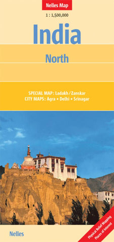
As part of a series of maps covering all of India, this map of India North shows the area from Indias northern border with Pakistan and the disputed territories of Jammu and Kashmir south to Gwalior and the state of Madhya Pradesh. The main map is drawn at a scale of 1:1 500 000 which allows all of the major roads to be shown, along with many minor roads, the railways, airports, places of interest, National parks and elevations for mountain peaks and passes. The distances between major centers are also shown.
The map includes an inset of Ladakh/Zanskar at a scale of 1:650 000 which provides excellent coverage of the eastern Himalayas. Both maps use shaded relief colouring to highlight the mountainous areas. Other inset maps give details for Delhi, Agra and Srinigar, including Temples, Churches and Mosques, major buildings, hotels and markets. The legend is in English, German and French.
Nelles Maps are a handy pocket size with the reliable, practical concertina fold.
- Product Number: 2176162M
- Product Code: NEL_INDIA_N
- ISBN: 9783865742735
- Year of Publication: 2013
- Folded Size: 9.84 x 4.72 inches
- Unfolded Size: 18.9 x 16.93 inches
- Map type: Folded Map
- Geographical region: India


